Lorem ipsum dolor sit amet, consectetur adipiscing elit. Ut elit tellus, luctus nec ullamcorper mattis, pulvinar dapibus leo.
Iron Ore Project
Emmaland Resourced Ghana Limited
Emmaland Resources Ghana Limited (ERL) is a key player in Ghana’s mining sector, specializing in the exploration and later move to mining, production, and trading of iron ore. The company is committed to unlocking Ghana’s mineral wealth through advanced exploration techniques, strategic partnerships, and sustainable resource development.
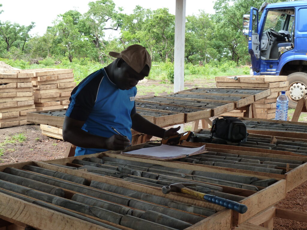
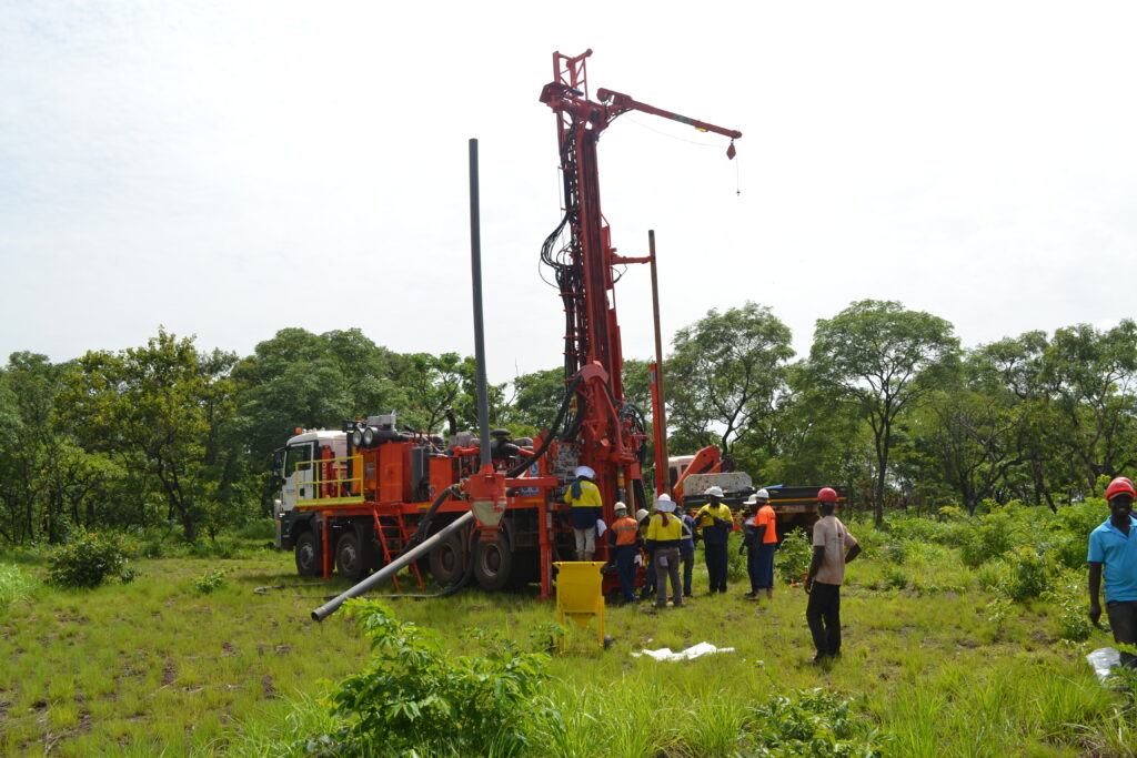
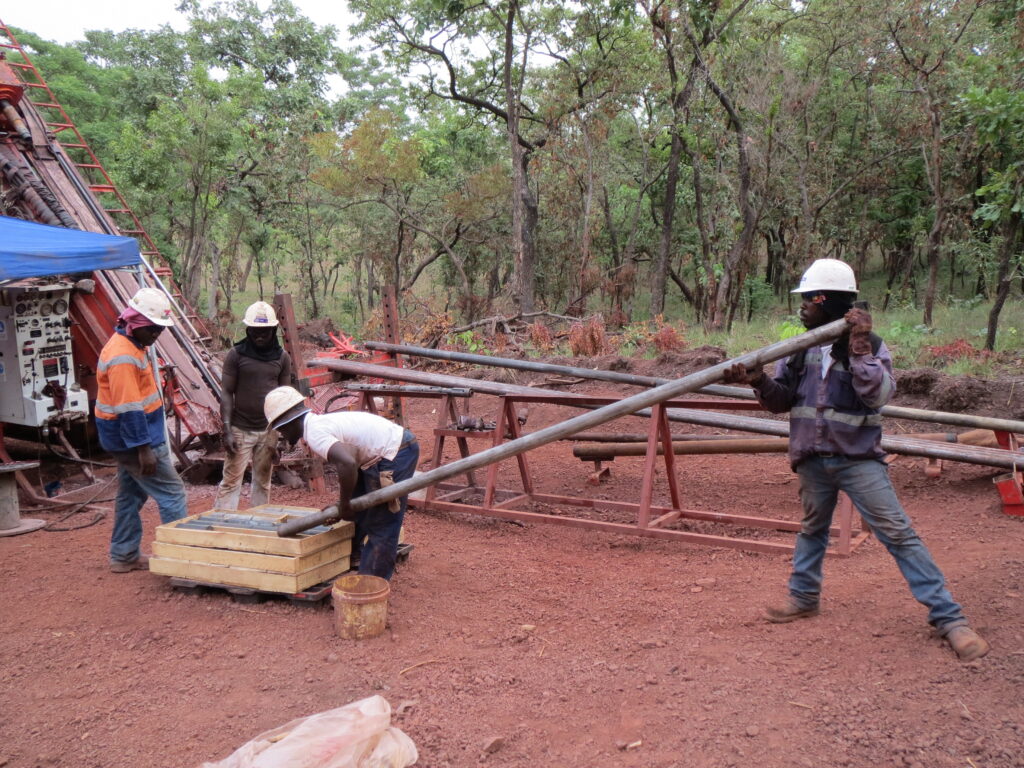
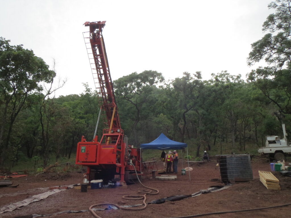
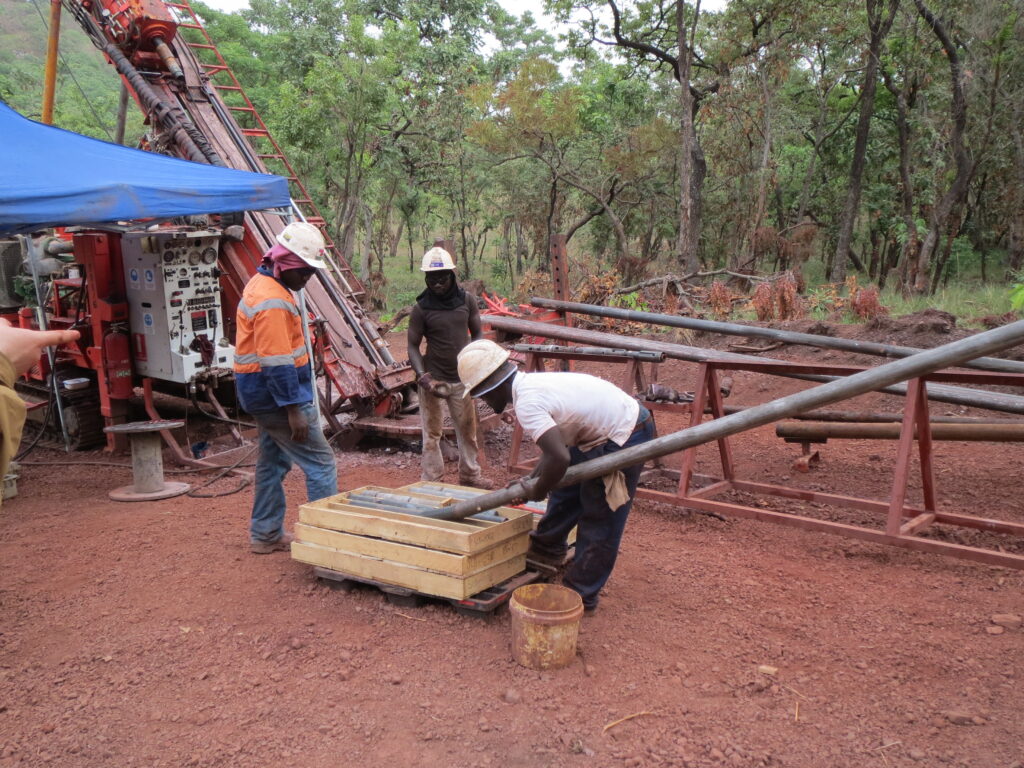
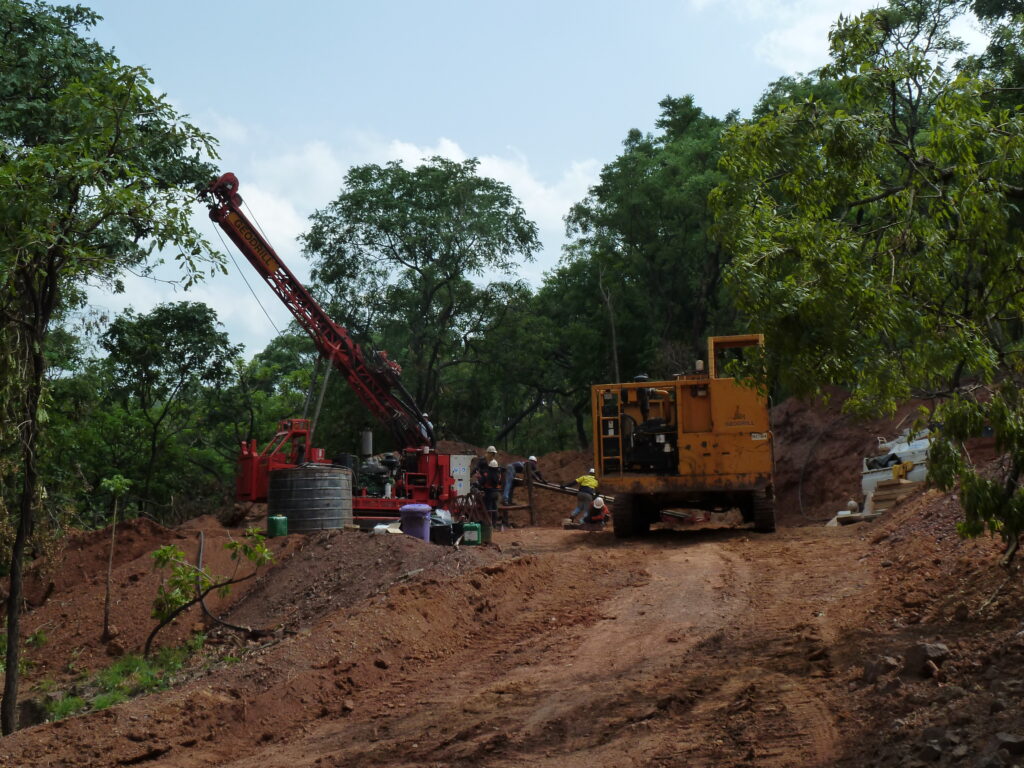
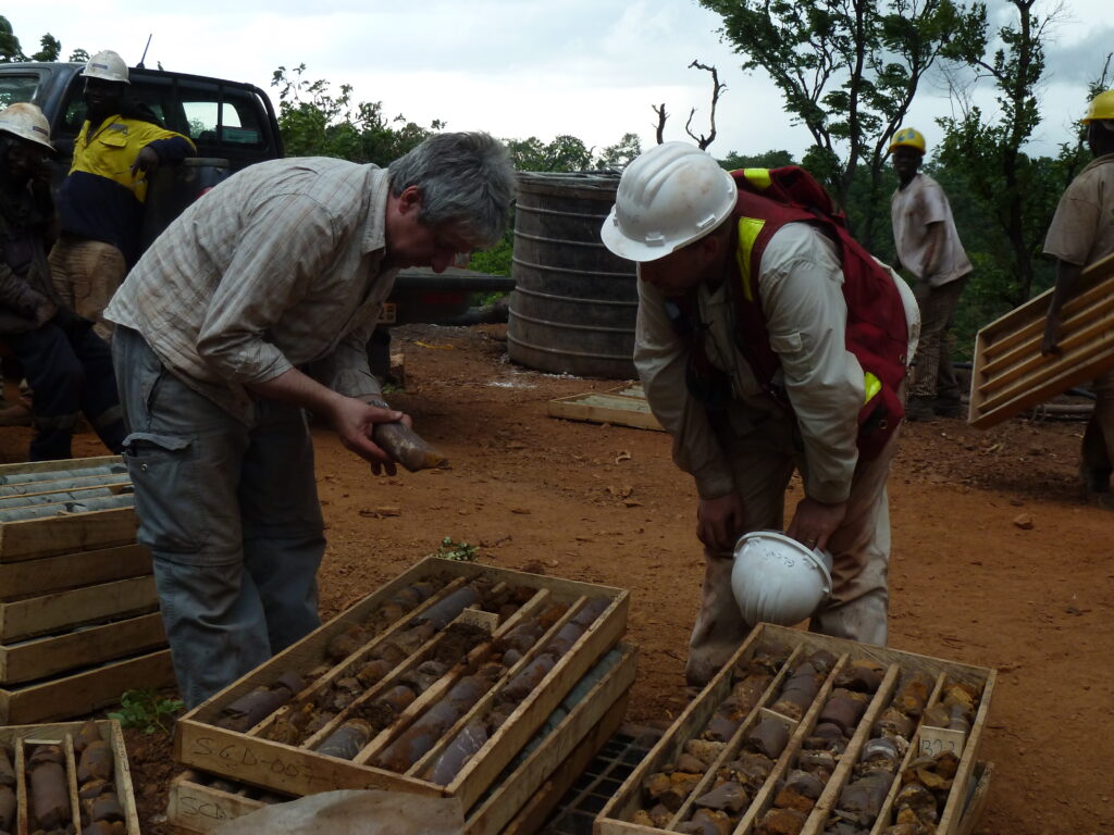
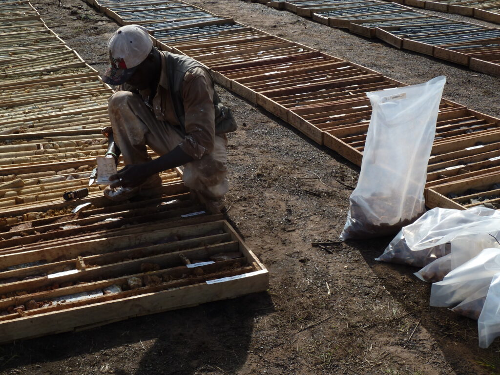
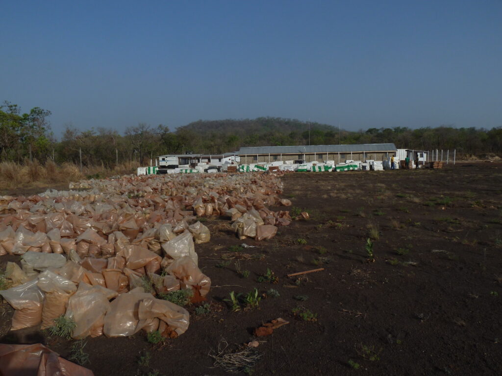
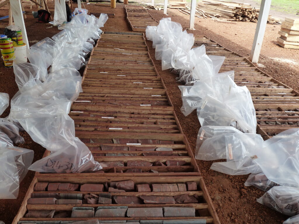
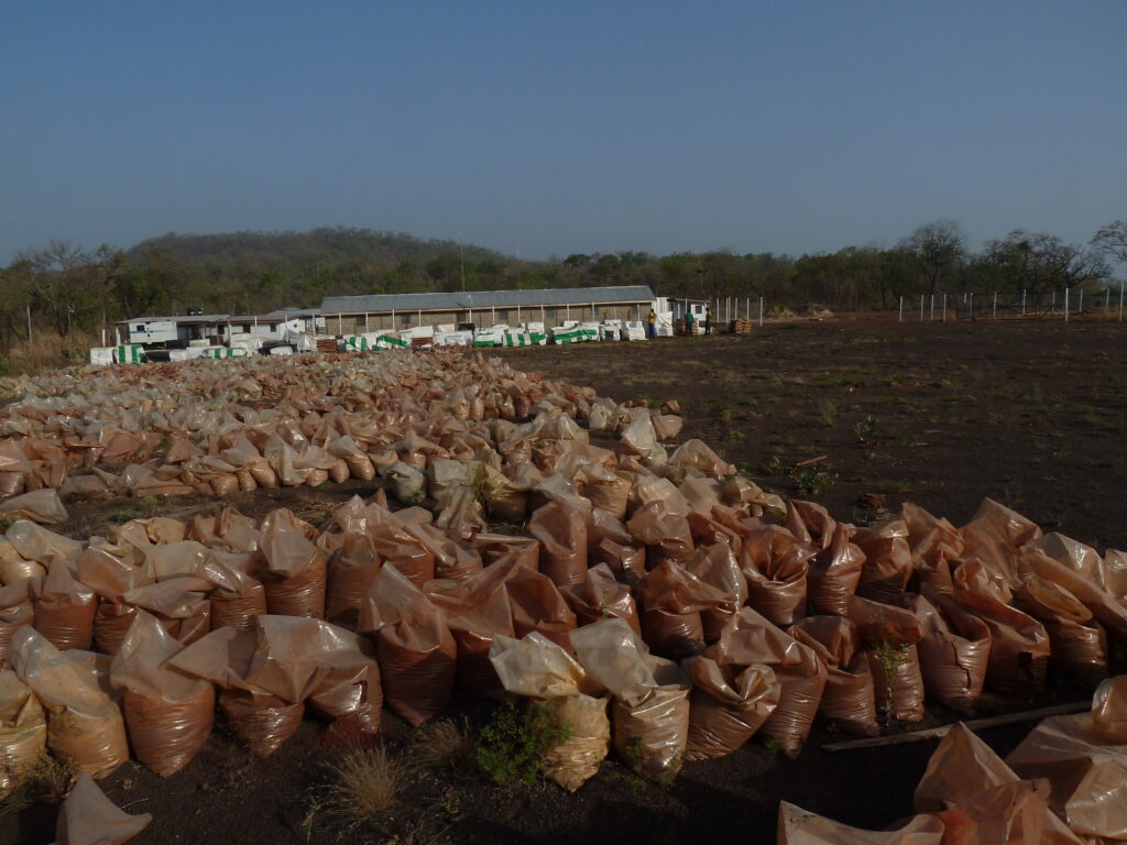
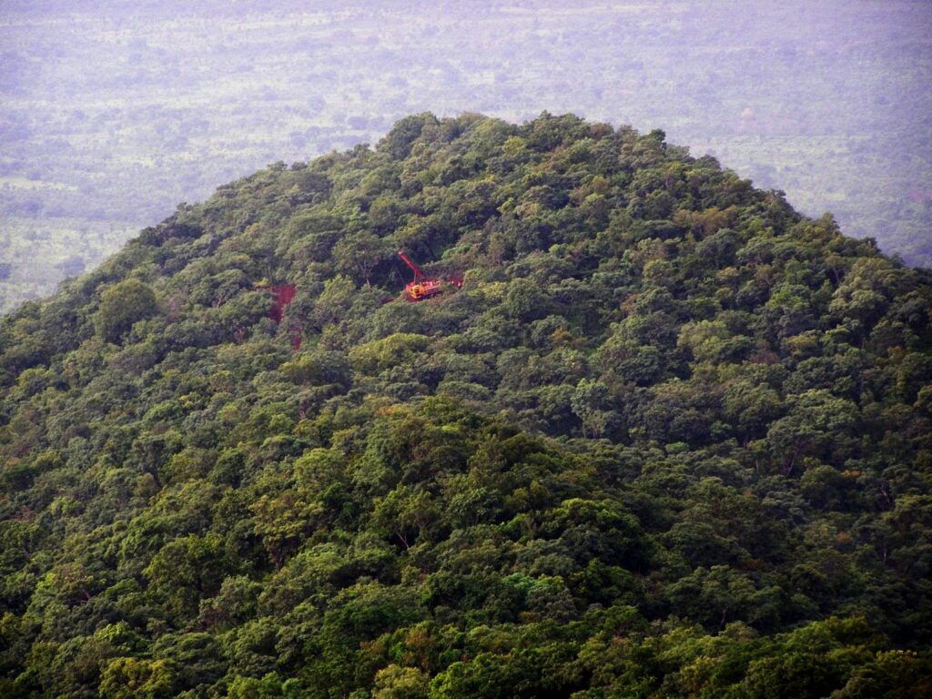
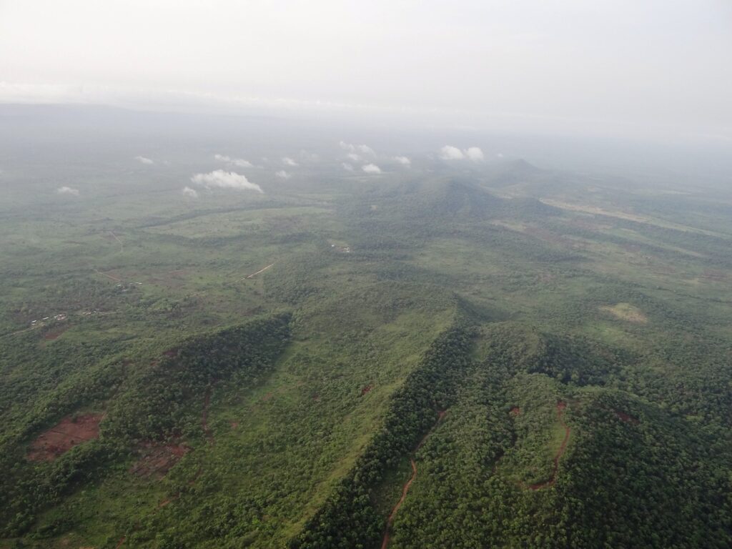
Iron Ore Project – Sheini Hills – The Sheini Hills Iron Project, located in northeastern Ghana, is a large-scale greenfield iron ore project with a multi-billion tonne potential. Since acquiring the asset in late 2011, ERL has undertaken extensive exploration activities to generate resource definition and estimates with metallurgical reports and determine the resource estimate.
Through these activities, the resource estimate from the first phase of drilling was found to be 1.5 billion tonnes of proven reserve and an unproven reserve of approximately 6 billion tonnes of iron.
Emmaland Resources is seeking investment in the project via a strategic investor to advance the project into an operational stage.
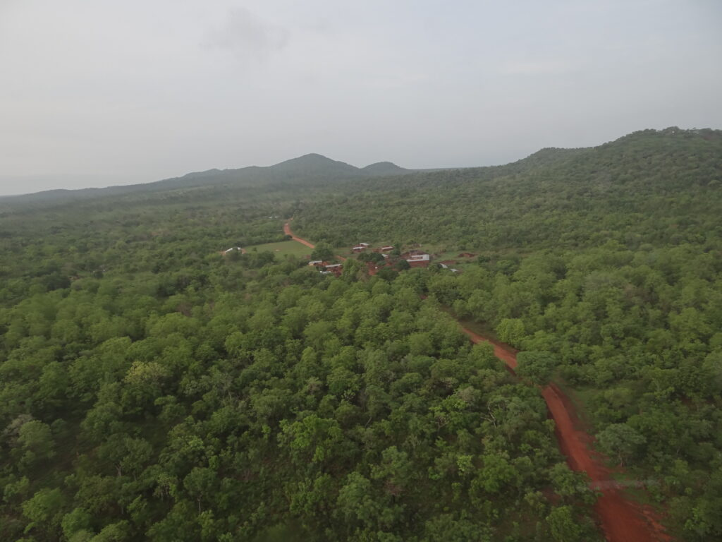
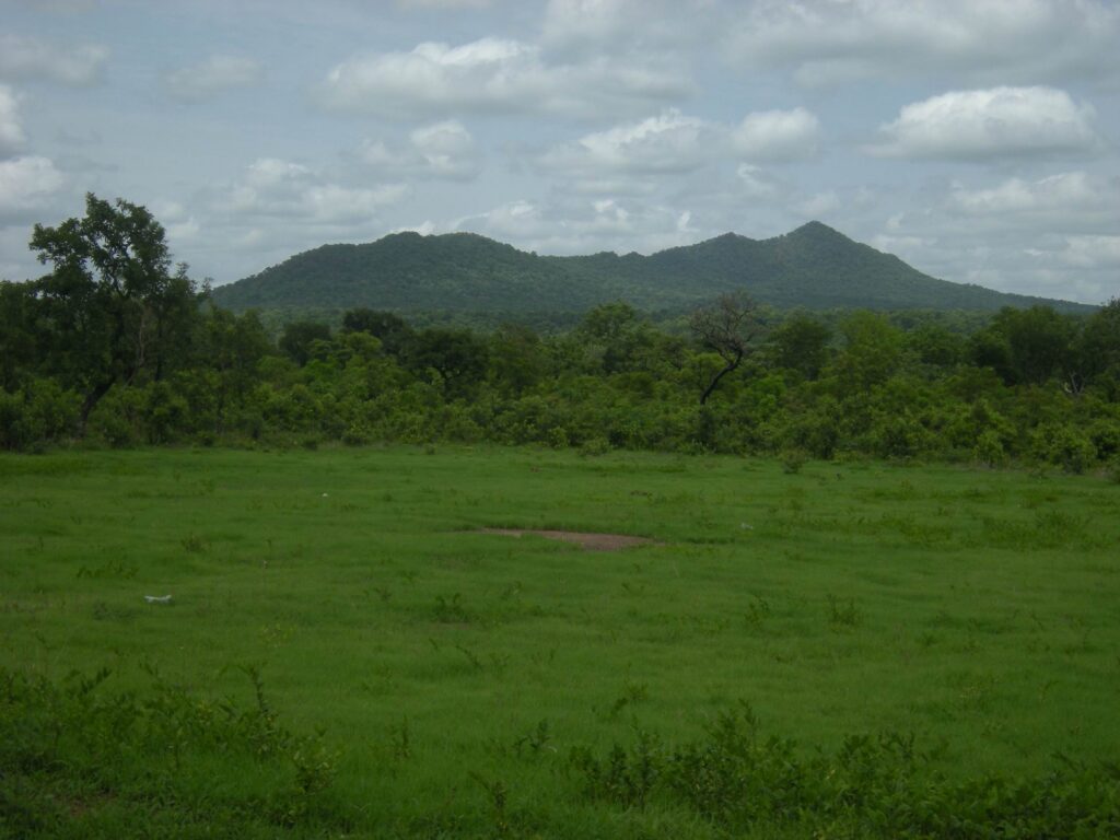
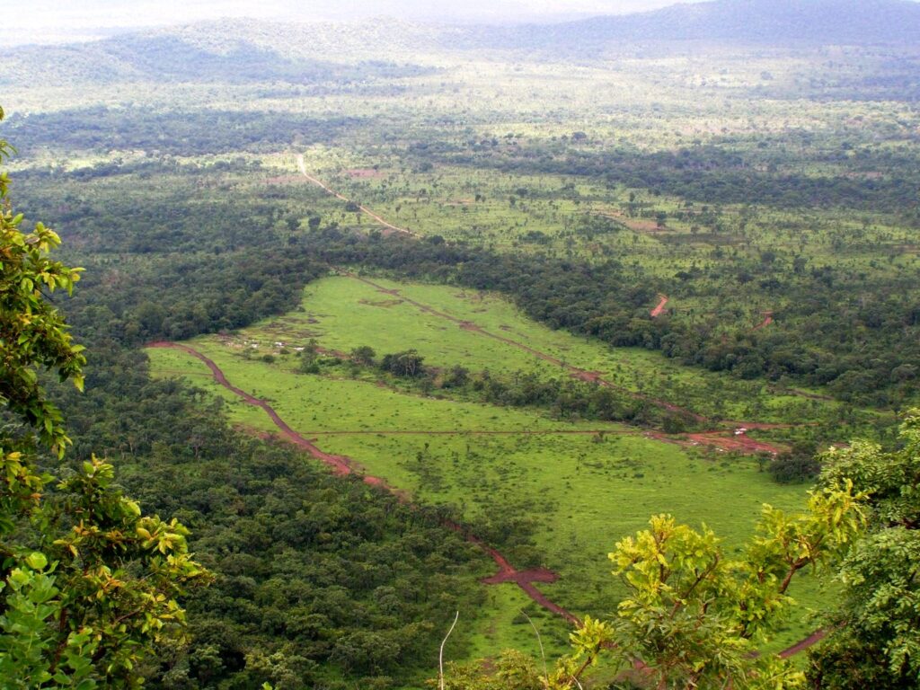
The project, covering approximately 400 square kilometers, is located in the Zabzugu – Tatale District in Northern Region, the Republic of Ghana.
Emmaland's Iron Ore Concession in the Zabzugu – Tatale District in Northern Region, the Republic of Ghana.
Key Highlights of the Sheini Hills Iron Ore Project
Proven Reserves: 1.3 billion tonnes of iron ore.
Unproven Reserves: Estimated at approximately 6 billion tonnes.
Project Area: 400 square kilometers, located in the Zabzugu-Tatale District in the Northern Region of Ghana.
Strategic Investment Opportunity: ERL is seeking a strategic investor to help advance the project from exploration to full-scale operations.
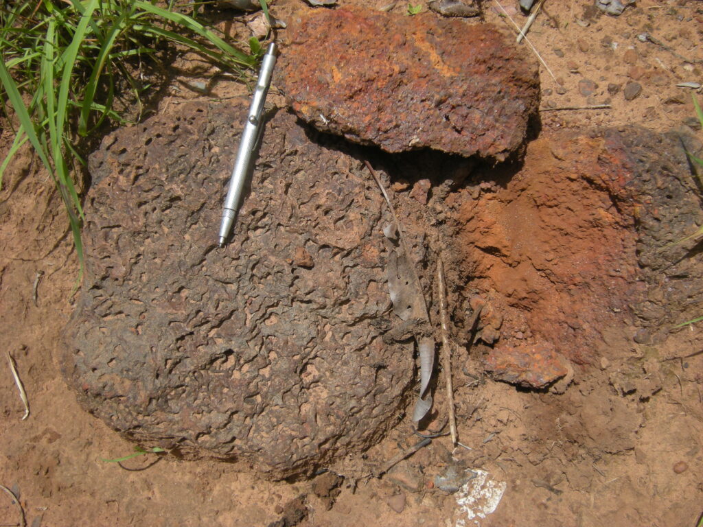
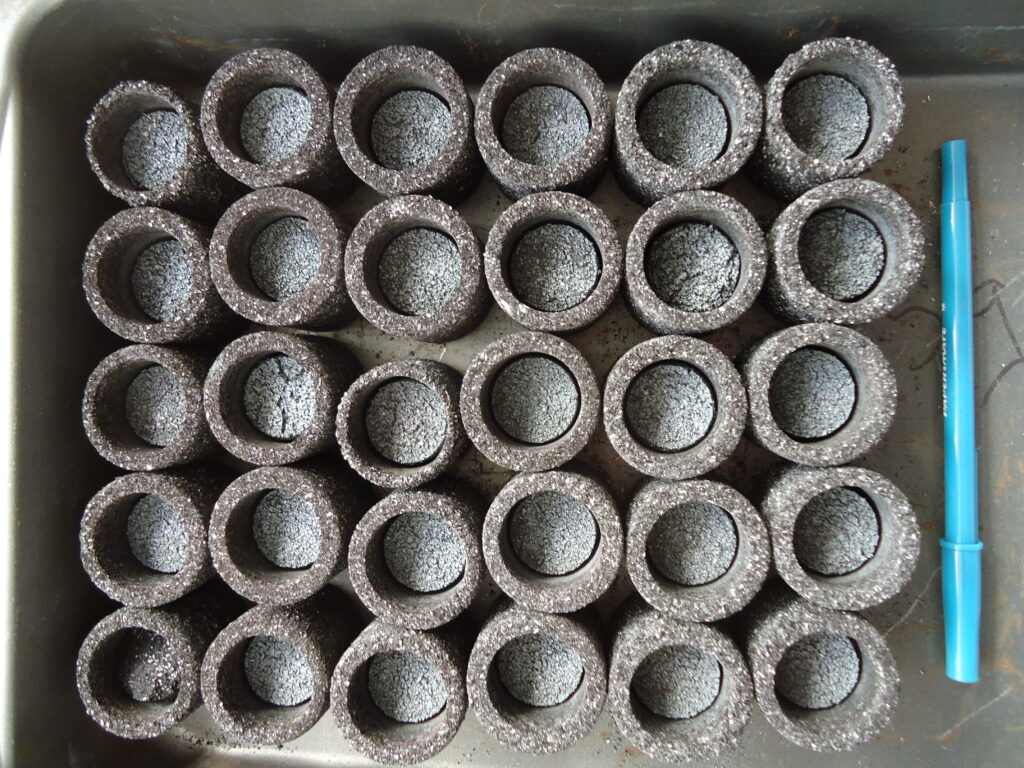
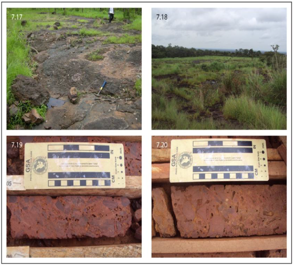
Detrital iron deposits
Highlights
Exploring and Developing Iron Ore and Other Mineral Properties in Ghana
Advancing iron ore exploration and production to position Ghana as a competitive player in the global iron market.
Quality Locations
Sheini Hills Iron Project: A major multi-billion tonne iron ore deposit.
Strategically Located Concessions: Positioned in high-potential mineral regions.
Drill-Ready Targets: Exploration has already defined substantial iron ore reserves.
Excellent Discovery Potential: Expanding exploration to further define reserves.
Aggressive Exploration
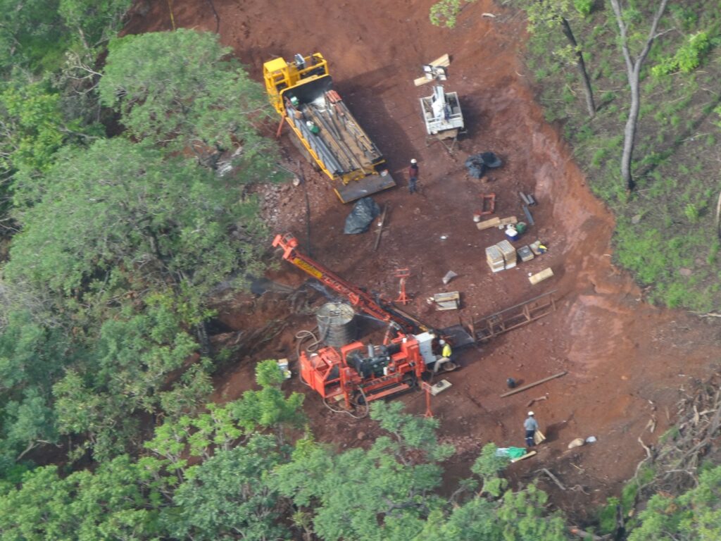
Multiple Exploration Programs Underway: Conducting metallurgical testing and feasibility studies.
Working with Traditional Leaders: Collaborating with local communities to ensure responsible and ethical mining practices.
Discovery Expertise
Experienced International Discovery and Development Team: Leveraging global expertise to drive efficient and sustainable mineral exploration.
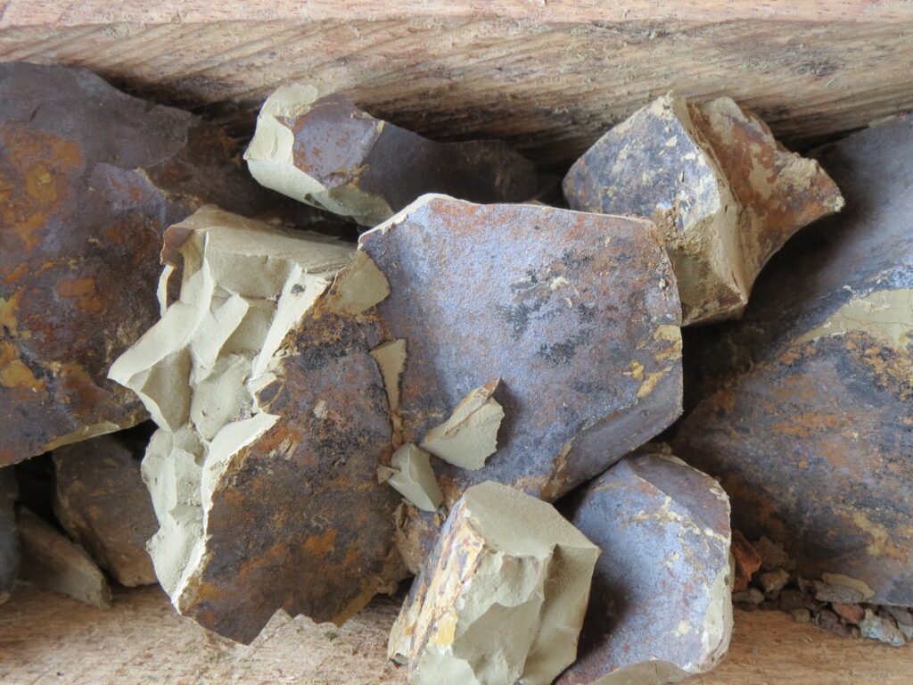
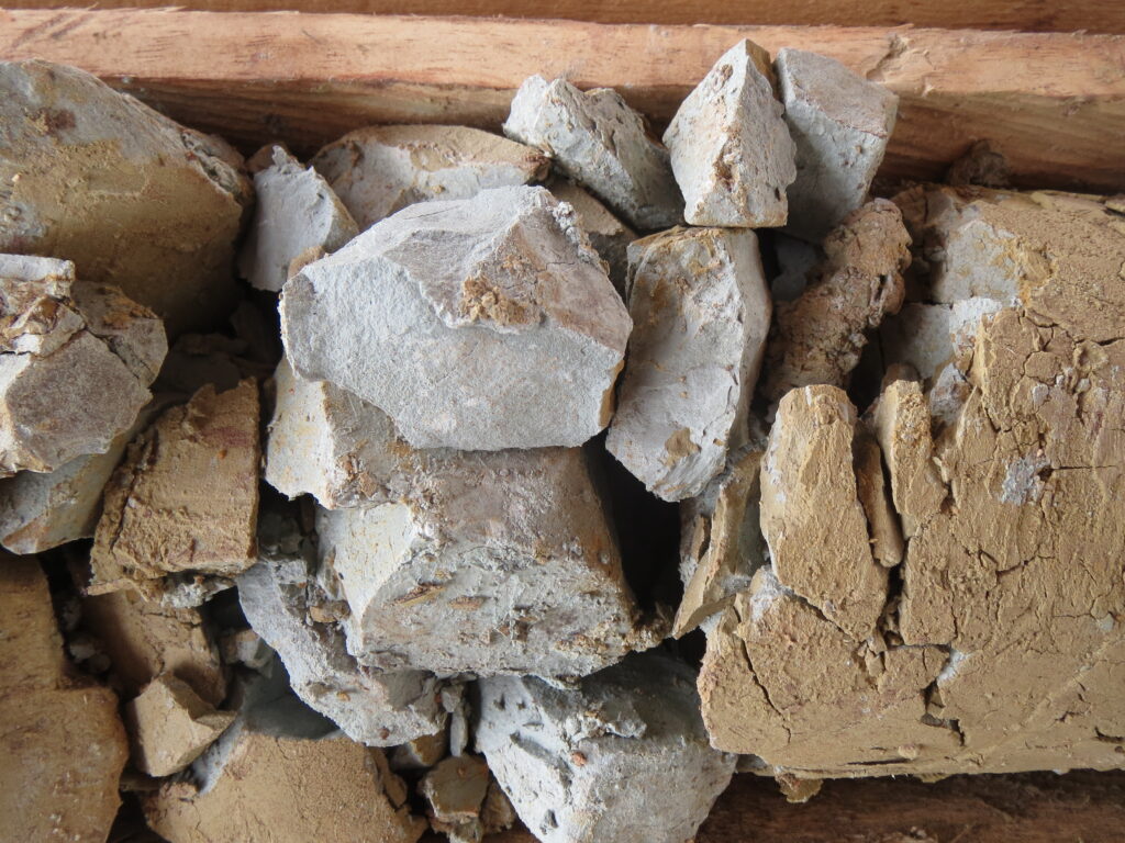
Geology and Mineralization
Geological map of the northern part of the Sheini prospecting licence
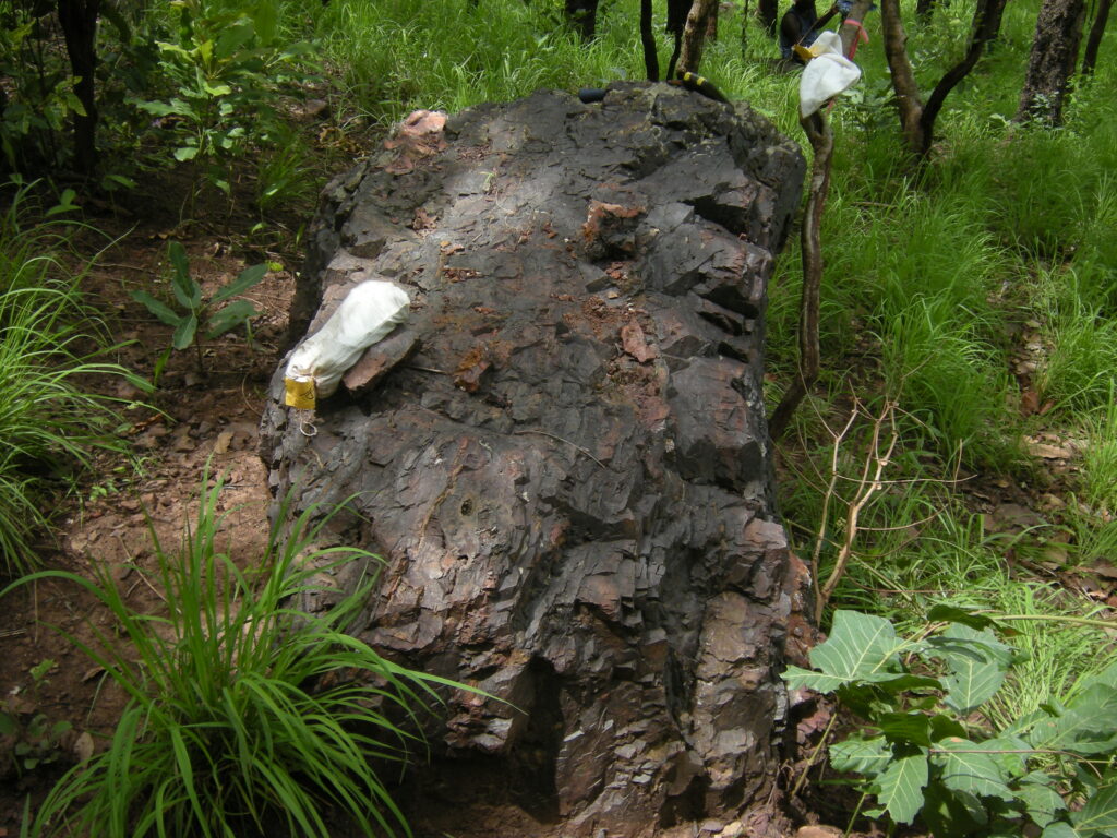
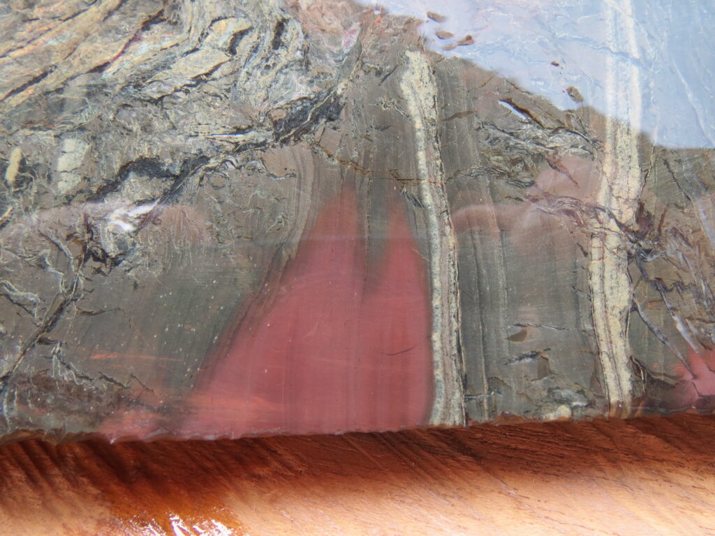
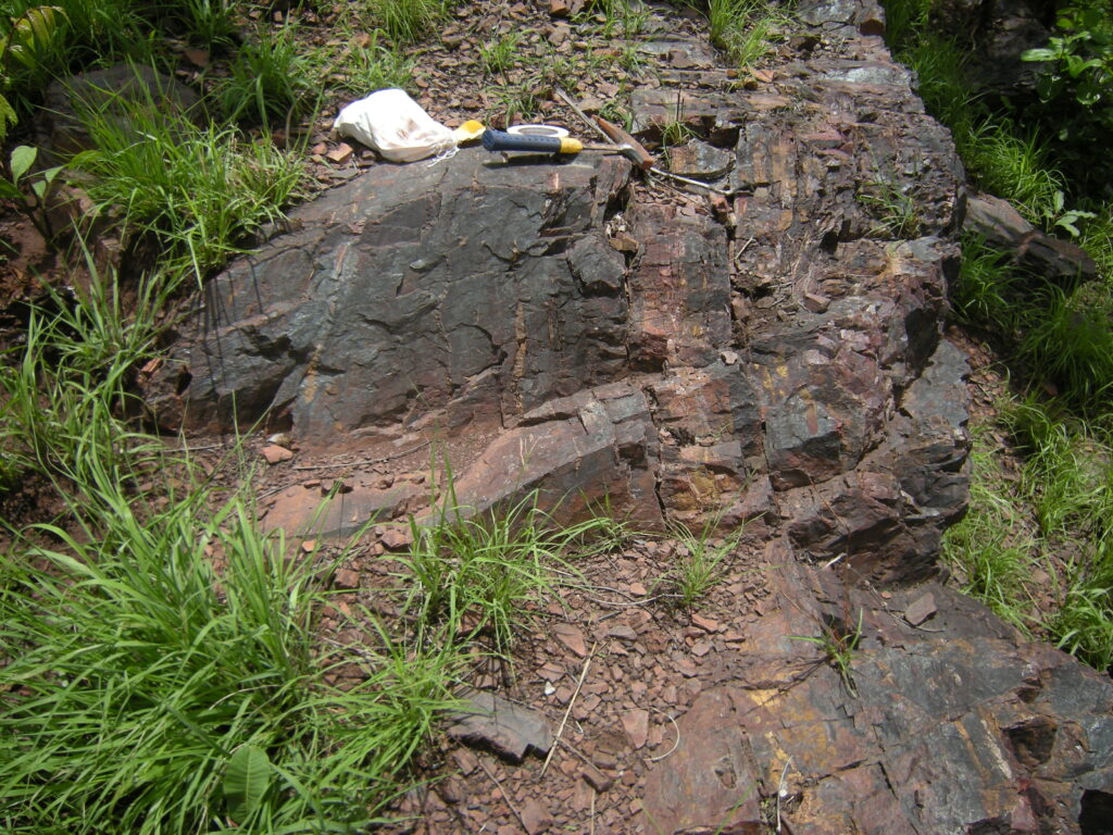
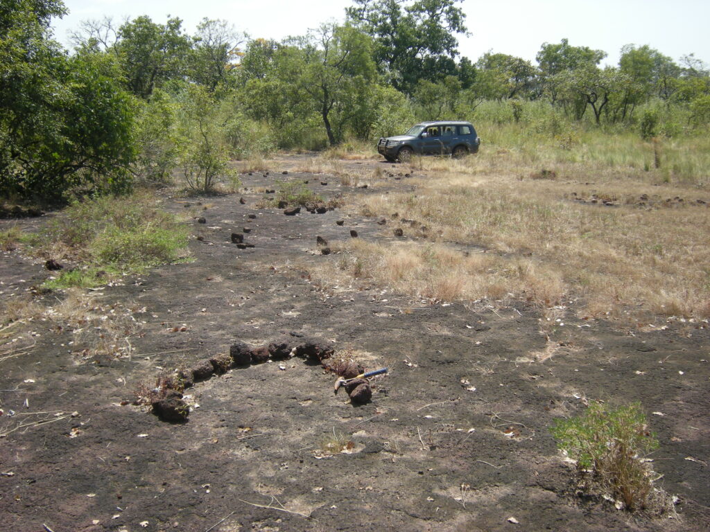
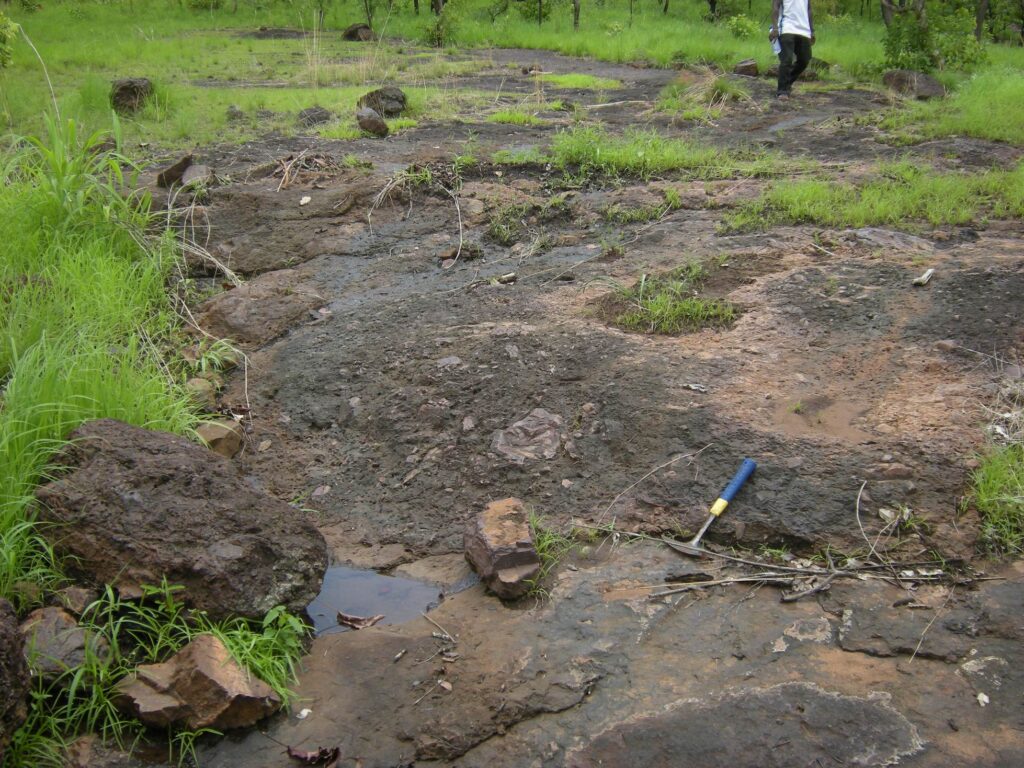
Iron mineralization at Sheini occurs as primary Ironstone (banded and granular types with local hardcap development) and as Detrital iron deposits (located on plains, peripheral to the Ironstone deposits).
Primary iron mineralization identified at Sheini, being classed as a “Rapitan-type iron formation”, predominantly comprises bladed hematite with lesser iron hydroxides (goethite and limonite) confined to interbedded banded iron formation and granular iron formation at the base of the Late Precambrian – Early Phanerozoic Buem Formation.
The Ironstone package and adjacent footwall and hanging wall lithologies have been subjected to ductile deformation resulting in a series of broadly N-S trending asymmetric inclined fold structures, offset by a series of NNE-SSW trending, and later E-W to ENE-WSW trending, brittle faults. The iron mineralization is sedimentary in origin, and extends to a total of approximately 8.6 km along strike, up to 1.2 km across strike and to depths of up to 300 m from surface.
Geological Model
Geological modelling was conducted in 3D Geomodeller software, using logged Ironstone (which groups together both banded and granular iron formation) as an explicit control on model geometry. Fresh Ironstone was modelled within three spatially distinct domains – north zone (zone 100), central zone (zone 200) and south zone (zone 300), all of which lie within the Sheini Central licence. Geological mapping, sectional interpretations (by both Cardero and SRK geologists) and both downhole and surface structural measurements were used to help model the geometry of the orebody between drillholes on and between sections.
In addition to primary Ironstone mineralization, re-deposited Detrital material forms extensive flat-lying platforms adjacent to N-S trending ridges throughout the project area. Detrital wireframes were generated in Leapfrog Mining software.
Surficial weathered Ironstone or Hardcap wireframes were generated in CAE Datamine Studio 3 software and based on logging in Cardero’s lithological drillhole log.
Oblique view (36° towards 325°) of the Detrital wireframes (blue) with Ironstone domains 100-300 (pink) overlain on the topography survey.


")